SLAM stands for Simultaneous Localization and Mapping. In simple terms, it means mapping and positioning at the same time. The technology solves a key challenge: how a robot or device can move in an unknown environment while building a map and knowing its location.
This beginner’s guide explains SLAM in clear language. You’ll learn its applications, the SLAM system framework, and the main types of SLAM used today.
In robotics, SLAM is essential for mapping and autonomous navigation. For example, robot vacuums from Ecovacs, TOMEI, and Lanbao use SLAM with Lidar sensors or cameras to create accurate indoor maps. This allows them to clean intelligently, plan routes, and avoid obstacles.
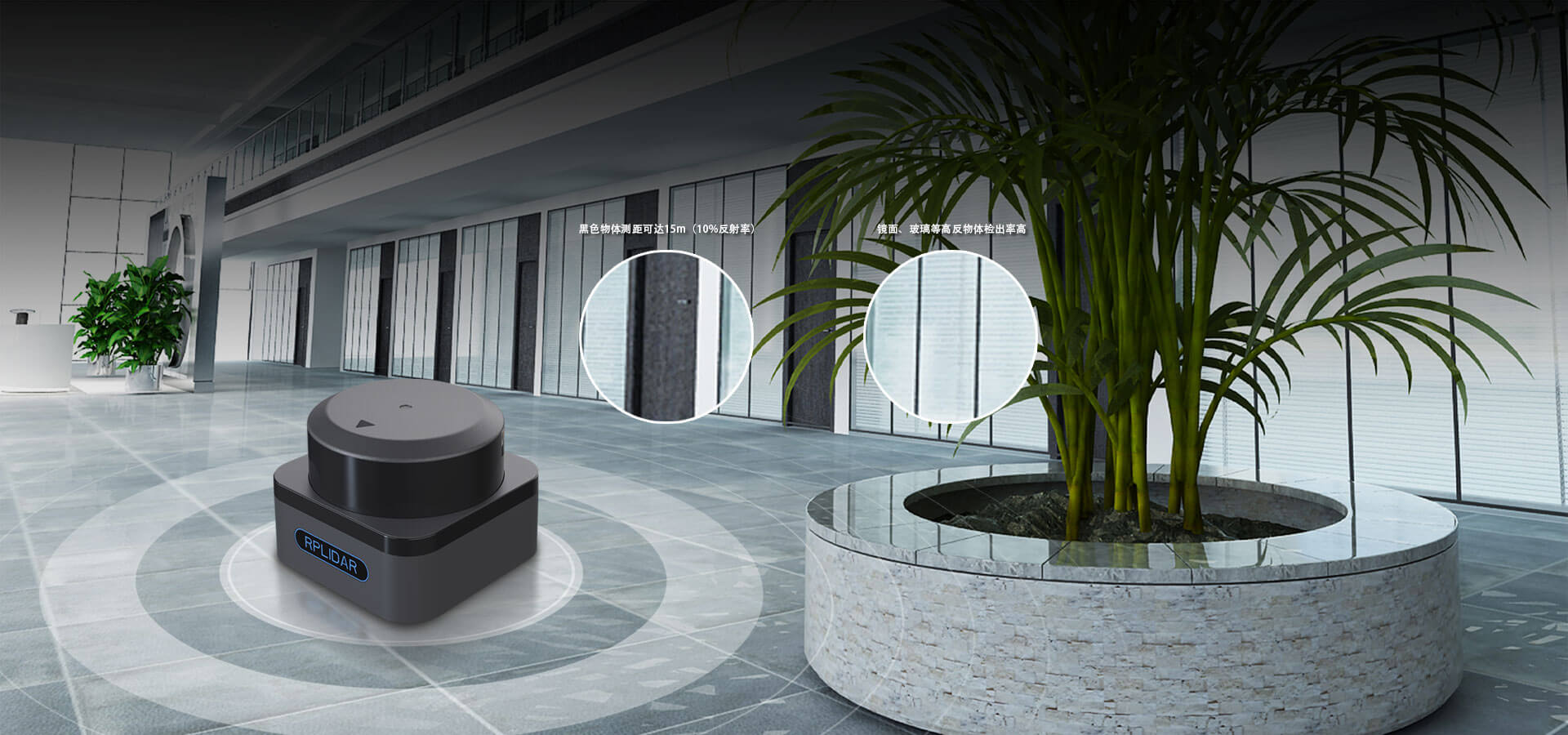
In China, Slamtec is one of the leading SLAM solution providers. The company’s affordable 2D Lidar, priced as low as hundred Dollor, have made robot navigation technology more accessible and expanded the adoption of SLAM worldwide.
SLAM also powers augmented reality (AR) and virtual reality (VR). By creating accurate visual maps, SLAM helps overlay virtual objects in real-world views without awkward distortions. Devices like Microsoft HoloLens, Google Project Tango, and Magic Leap all rely on SLAM to deliver realistic visual experiences.
Drones use SLAM for 3D mapping and obstacle avoidance. By combining SLAM with GIS (Geographic Information Systems) and object recognition, drones can detect barriers and plan safe routes. A well-known example is the Hover Camera drone, which became popular in the U.S. thanks to its smart navigation powered by SLAM.
In self-driving cars, SLAM is used for visual odometry—tracking vehicle movement with cameras and Lidar. When combined with GPS, it provides precise positioning required for safe driving. Google’s self-driving car project and Oxford University’s Wildcat autonomous vehicle have both successfully tested SLAM-based navigation.
A typical SLAM framework has five main modules:
Sensor Data – Collects information from the environment, such as laser scans, images, or 3D point clouds.
Visual Odometry – Estimates the relative motion between two time steps, often using feature matching or direct alignment.
Back-End Optimization – Reduces accumulated errors using filters and graph optimization.
Mapping – Builds a 2D or 3D map of the environment.
Loop Closure Detection – Recognizes previously visited places to correct drift and improve map accuracy.
Workflow:
Sensors capture data → Visual odometry estimates movement → The back end optimizes errors → Mapping creates the environment → Loop closure checks for repeated areas to refine accuracy.
Lidar SLAM uses 2D or 3D laser scanners.
2D Lidar is common in indoor robots like robot vacuums.
3D Lidar is widely used in autonomous driving.
Lidar captures precise point cloud data—dots with distance and angle information. By comparing point clouds over time, the system calculates how the robot moves.
Advantages of Lidar SLAM:
High accuracy and simple error models.
Works well in different lighting conditions.
Provides geometric data for easy path planning.
Mature theory and many commercial products.

Visual SLAM uses cameras to capture texture-rich information, similar to human eyes. It can recognize scenes and objects in great detail.
In the past, visual SLAM struggled with heavy computation. But thanks to better cameras, faster processors, and new optimization methods like Bundle Adjustment, real-time VSLAM is now possible.
Advantages of Visual SLAM:
Can easily distinguish between visually different objects (like two billboards).
Great for relocation and scene recognition.
Can track moving objects such as people and cars, making it useful in dynamic environments.
Lidar SLAM offers precision and stability but struggles in texture-rich environments.
Visual SLAM provides detailed recognition but depends heavily on lighting.
The future lies in fusion SLAM, combining both. Cameras provide texture details, while Lidar ensures precise distance measurements. Together, they allow robots and vehicles to work reliably in complex real-world environments.
SLAM technology has grown rapidly in recent years. From robot vacuums and AR/VR devices to drones and autonomous vehicles, SLAM makes intelligent navigation possible.
As Lidar SLAM and Visual SLAM continue to evolve, their integration will push robots beyond labs and showrooms into real-world applications, making them valuable assistants in everyday life.
Keywords: rplidar, slam, technology guide